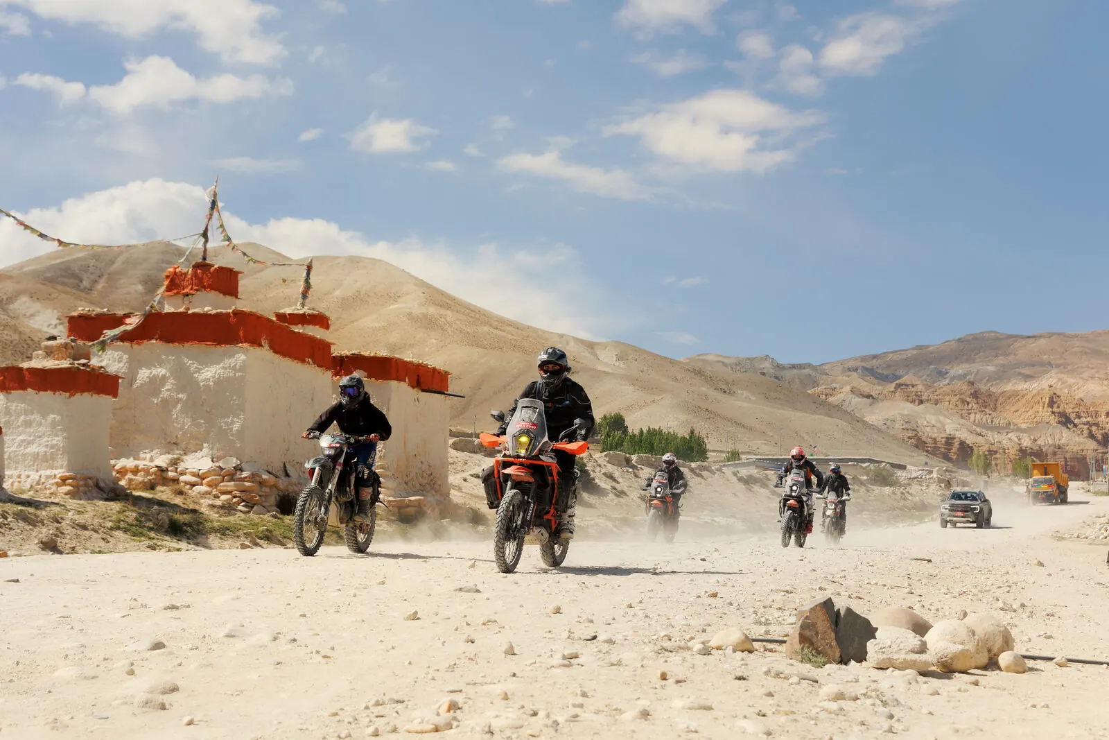
Few riding experiences compare to ascending into the high Himalayas.
Moreover, the Upper Mustang motorcycle trip is more than an off-road tour; it is a journey through dramatic altitude changes, historic Tibetan settlements, arid gorges, and mountain passes adorned with prayer flags and surrounded by 8,000-meter peaks.
The country offers some of the world’s most challenging adventure riding.
From the canyon switchbacks of the Kali Gandaki to the ancient citadel of Lo Manthang, the route presents diverse terrain.
Additionally, it covers the alpine expanse of the Manang Valley.
The guide outlines key route highlights for the Upper Mustang motorcycle trip.
Additionally, it covers daily terrain, altitude acclimatization, fuel logistics, and essential preparation.
1. Top Route Highlights: Upper Mustang & The Manang Circuit
While Nepal features renowned roads such as the BP Highway, the heart of adventure motorcycling lies in the Annapurna and Mustang conservation zones.
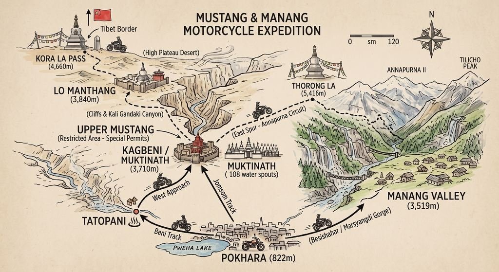
Upper Mustang: The Walled Kingdom & The Forbidden Desert
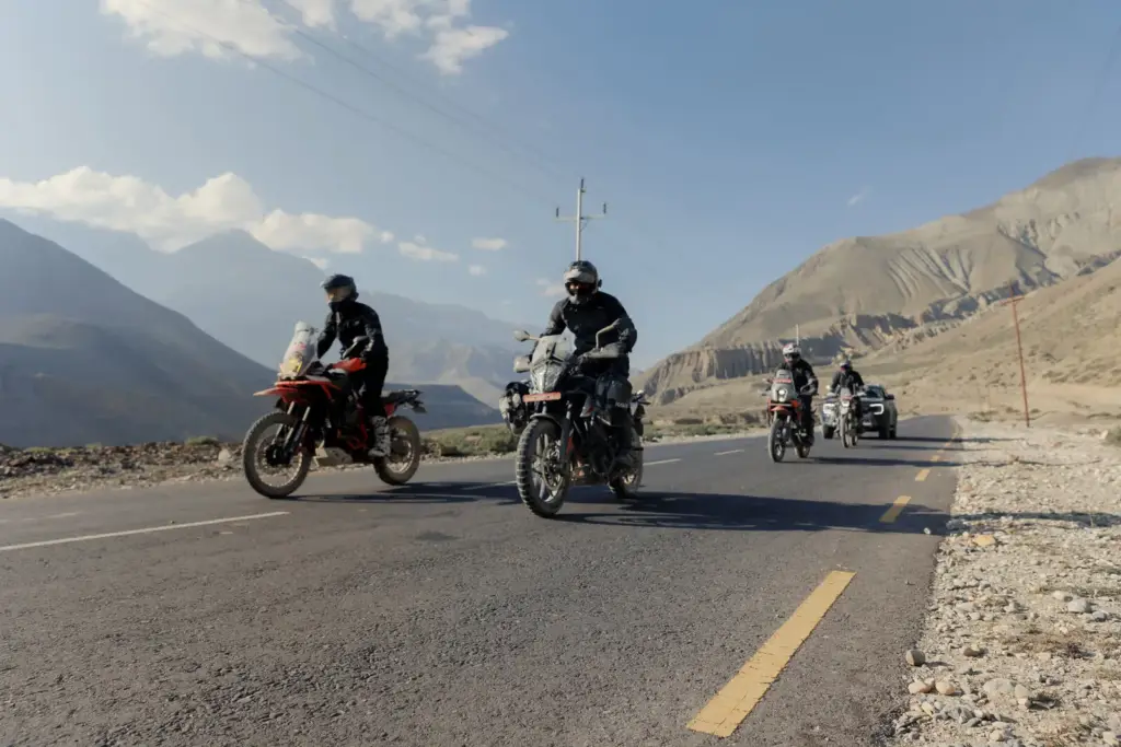
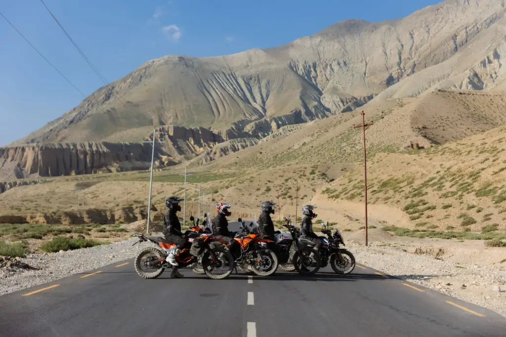
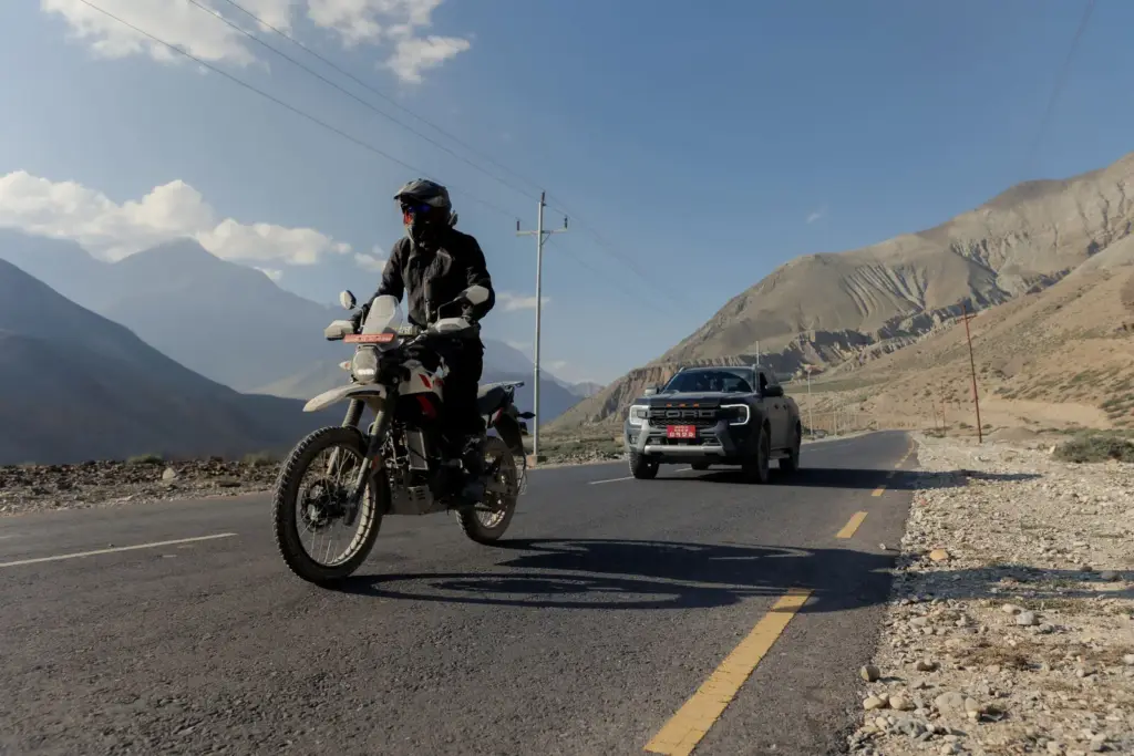
Entering Upper Mustang, once the Kingdom of Lo, is reminiscent of ancient Tibet in the Upper Mustang motorcycle trip.
North of Kagbeni, the Annapurna and Dhaulagiri ranges block the monsoon.
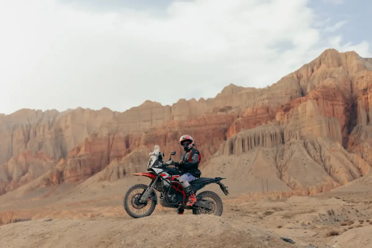
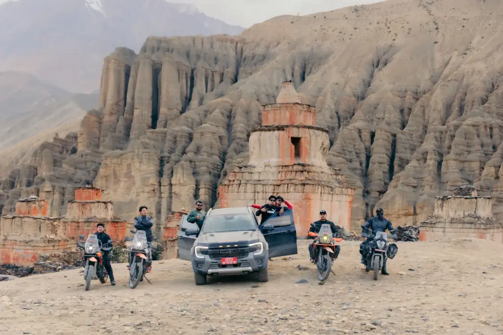
Moreover, they reveal a high-altitude desert with ocher cliffs, wind-shaped canyons, and whitewashed chortens.
Kagbeni to Ghami (via Chele & Samar)
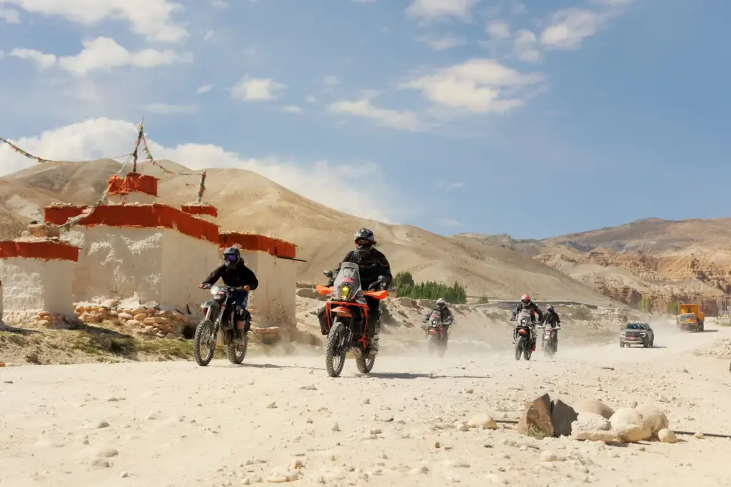
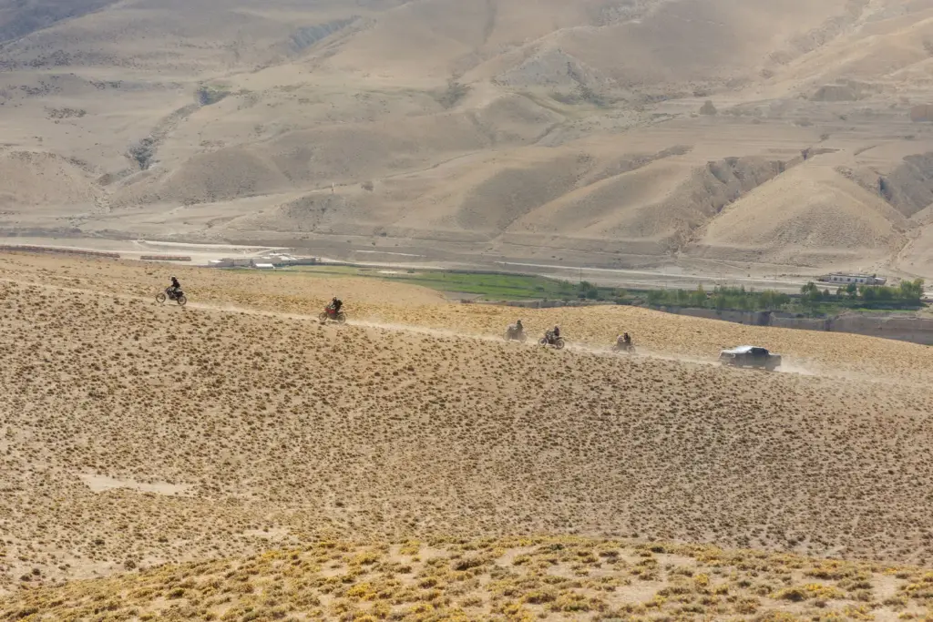
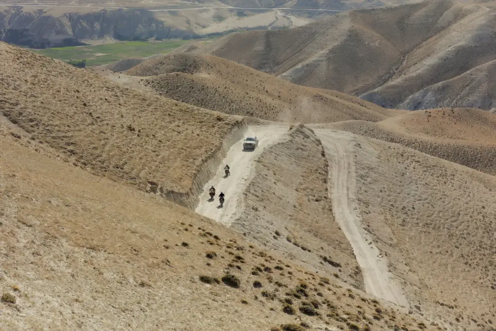
After the northern checkpoint at Kagbeni, the route crosses the Kali Gandaki riverbed and ascends steep cliffs through tight switchbacks toward Chele and Samar. Riders traverse passes such as Taklam La and Dawa La which provide panoramic views of deep red gorges.
Ghami & The Longest Mani Wall
Before reaching Charang (Tsarang), riders cross Ghami La and encounter Nepal’s longest Mani wall, which stretches for hundreds of meters and features sacred stone carvings set against rust-colored cliffs.
The Walled City of Lo Manthang
Lo Manthang is the highlight of Upper Mustang. Entering its historic city gates by motorcycle is a memorable experience. Plan to spend at least two nights exploring:
- The Royal Palace and 15th-century monasteries (Jampa Lhakhang, Thubchen Lhakhang).
- The Chhoser Cave System: Multi-story rock-cut cliff caves carved thousands of years ago.
- Kora La: The high mountain pass at the Nepal-Tibet (China) border, featuring a barren, windswept moonscape.
Manang Valley: Riding the Marsyangdi River Gorge
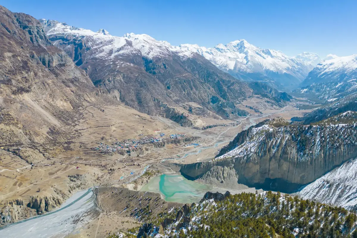
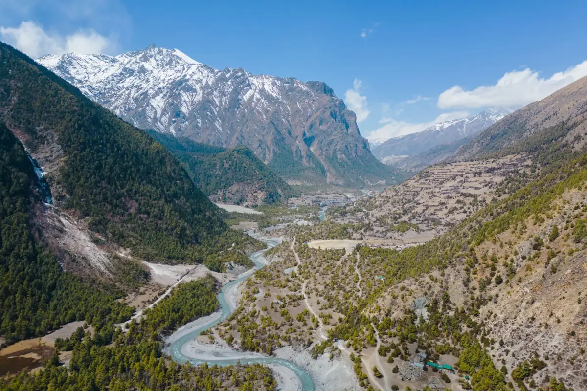
From Besisahar, the route into the Manang Valley follows the eastern side of the Annapurna Circuit.
- The Marsyangdi Gorge features waterfalls that cascade onto the road. The track is carved from vertical rock faces and requires careful throttle control over wet bedrock and suspension bridges.
- Between Chame and Pisang, dense rhododendron and pine forests open to views of Paungda Danda, a curved slate rock formation highly regarded by locals.
- Manang Village located beneath Annapurna II, III, and Gangapurna, is an ancient settlement well-suited for altitude acclimatization and rest before continuing toward Khangsar or the Tilicho trailhead.
2. Daily Riding Conditions, Terrain & Difficulty Levels
A motorcycle trip in Nepal requires careful preparation. Roads in the trans-Himalayan region can change quickly due to landslides, glacial melt, construction, and sudden weather changes.
| Route Segment | Surface Type | Technical Difficulty | Altitude Range |
| Kathmandu – Pokhara (Prithvi Hwy) | Broken tarmac, highway traffic, roadwork zones | Moderate | 822m – 1,400m |
| Beni – Tatopani – Jomsom | Mud, loose gravel, rocky trails, river fords | High | 830m- 2,743m |
| Jomsom – Kagbeni – Muktinath | Mix of blacktop, hard-packed dirt, high crosswinds | Moderate | 2,743m – 3,710m |
| Kagbeni – Lo Manthang | Bulldozed dirt, silt (“fesh-fesh”), loose shale, rocky climbs | High | 2,800m – 3,840m |
| Besishahar – Chame – Manang | Water-cut rock steps, mud, scree, narrow ledges | Very High | 3,519 |
Real-World Riding Dynamics
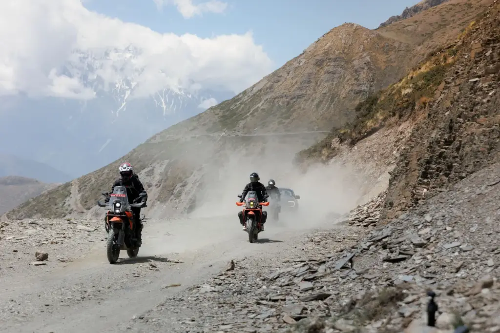
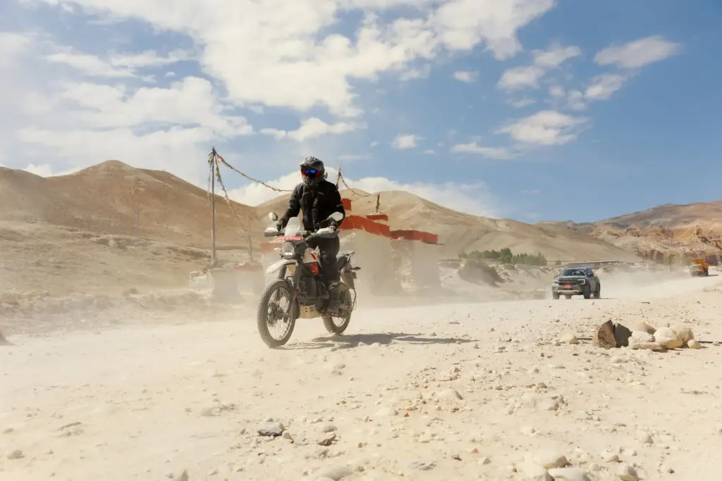
- Afternoon Mustang Winds: Around 11:00 AM daily, thermal updrafts generate strong headwinds through the Kali Gandaki Gorge. Riding a lightweight motorcycle against dust-filled gusts requires steady handlebar control and reduced speed.
- Glacial Water Crossings: Mountain streams are shallow in the morning but rise significantly by 2:00 PM due to upstream snowmelt. Crossing loose-boulder riverbeds requires confident standing technique and steady clutch control.
3. High-Altitude Management & Acclimatization
Riding between 3,000m and 4,660m, places sustained physical stress on the body. Unlike trekking, motorcycles ascend quickly, increasing the risk of Acute Mountain Sickness (AMS).
Crucial Acclimatization Rules for Riders
- Hydrate Heavily: Inhalation of dry, cold alpine air accelerates dehydration. Drink 3 to 4 liters of water daily with electrolytes.
- Staged Ascent Schedules: Never ride straight from Pokhara to Muktinath in a single day. Break the trip at Tatopani or Marpha to let your cardiovascular system adapt.
- Carry a Pulse Oximeter: Monitor blood oxygen morning and evening. Readings consistently below 75% paired with persistent headaches indicate a need to descend.
- Keep Emergency Diamox on Hand: Acetazolamide helps speed acclimatization; consult your travel physician prior to departure.
4. Permits, Fuel Logistics & Mechanical Realities
Traveling in restricted border areas requires thorough documentation and self-sufficient logistics.
Permits Breakdown
- Upper Mustang Restricted Area Permit (RAP): Costs $500 per person for the first 10 days, plus $50 per day thereafter. By law, independent solo travel is prohibited; you must register through a licensed Nepali adventure agency with a minimum of two riders accompanied by a registered guide.
- Annapurna Conservation Area Project (ACAP): Required for both Mustang and Manang $30
- TIMS Card (Trekkers’ Information Management System): Often required depending on specific local entry checkpoint rules.
Fuel Strategy & Spares
- Fuel Quality: High-octane fuel is unavailable beyond Beni or Besisahar. Expect 87–90 octane, often stored in metal drums or plastic bottles in remote areas. Dual-sport motorcycles with lower compression ratios, such as the Royal Enfield Himalayan 411/450 or Honda CRF300L, perform better than high-compression enduro models in these conditions.
- Carrying Capacity: Ensure a safe range of at least 200km of fuel. Bring auxiliary fuel bladders or Jerry cans in Upper Mustang, as there are no official fuel stations between Jomsom and Lo Manthang.
- Common Breakdowns: Broken clutch/brake levers from tip-overs, punctured tubes on jagged shale, clogged air filters from dry silt, and blown fork seals from corrugated washboards.
5. Recommended Gear Checklist
- Riding Suit: 3-layer laminated textile jacket and pants with zip-out thermal and waterproof liners (e.g., Gore-Tex).
- Gloves: Two pair, one warm, waterproof cold-weather glove; one ventilated off-road tactile glove.
- Boots: Full enduro or adventure boots with reinforced ankle hinge support (avoid soft touring boots).
- Helmet & Eyewear: Dual-sport peak helmet with pinlock visor, plus dust-sealed off-road goggles for windy gorge sections.
- Base Layers: Merino wool base and mid-layers (essential when morning temperatures drop below freezing at 3,800m
6. Riding With a Dedicated Support Team: Nepal Moto Biking
While self-supported touring is possible on standard routes, traveling through Upper Mustang and remote Manang is more efficient and enjoyable with a dedicated support team. Managing permits, sourcing fuel, arranging accommodations, and navigating checkpoints can otherwise reduce valuable riding time.
For those who wish to focus solely on riding, Nepal Moto Biking is a leading operator in the region.
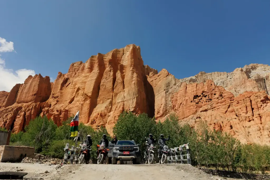
Why Book with a Guided Specialist?
- Founders-Led ExpeFounders-Led Expeditions: Experienced local Himalayan riders scout and lead each trip, ensuring in-depth knowledge of trail conditions, river levels, and high-altitude weather patterns.
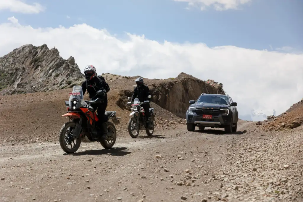
Support Vehicle: A heavy-duty backup rig hauls your main luggage, toolboxes, camp spares, first-aid oxygen cylinders, and extra fuel. You ride light and agile with just a daypack. - On-Road Mechanic: A factory-trained mechanic accompanies the group to address issues such as tire punctures and air-fuel adjustments at 4,000m, ensuring uninterrupted operation.
- Seamless Permit Processing: All required paperwork for the $500 Upper Mustang RAP and regional clearances is managed in advance through registered agency channels, ensuring a smooth arrival at Tribhuvan International Airport.
Sample 12-Day Upper Mustang Expedition Itinerary
| Day | Route | Distance | Altitude Gain / Terrain |
| Day 01 | Arrival in Kathmandu | – | Briefing, paperwork & bike fitting 1,400m |
| Day 02 | Kathmandu to Pokhara | 200km | Winding blacktop along the Trishuli River |
| Day 03 | Pokhara to Tatopani | 105km | Tarmac transitioning to rough dirt and hot springs 1,190m |
| Day 04 | Tatopani to Kagbeni / Muktinath | 75km | Rocky riverbed tracks, crossing into the rain shadow 3,710m |
| Day 05 | Kagbeni to Ghami | 60km | Enter Restricted Area; Chele canyon passes 3,520m |
| Day 06 | Ghami to Lo Manthang | 35km | Red cliffs, Mani walls, and high pass entry to Lo 3,840m |
| Day 07 | Lo Manthang & Kora La Pass | 95km – Round trip | High-altitude run to the Tibet border 4,660m & Chhoser caves |
| Day 08 | Lo Manthang to Tsarang & Syangboche | 55km | Ancient monasteries and sweeping high-desert switchbacks |
| Day 09 | Syangboche to Marpha | 70km | Descent through Kali Gandaki; apple orchards of Marpha 2,650m |
| Day 10 | Marpha to Pokhara | 170km | Fast trail descent back to subtropical lakesides |
| Day 11 | Pokhara to Kathmandu | 200km | Return ride via Prithvi Highway |
| Day 12 | Final Departure | – | Airport transfers and departure |
Key Note for Himalayan Riding
In regions like Upper Mustang, distance in kilometers is secondary to ride time. Due to loose shale, river crossings, altitude, and narrow switchbacks, an average speed of 15 to 25 km/h is standard. A “35 km” leg often takes 3 to 5 hours of continuous riding.
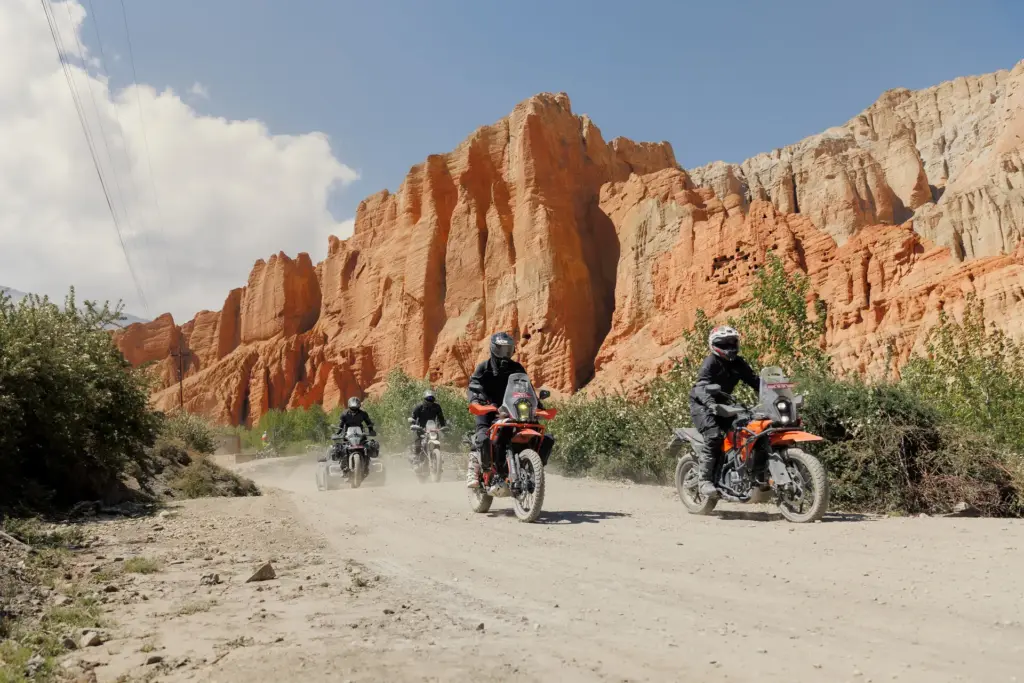
Ready to ride it yourself?
Tell us your dates and riding level and we will send a route plan and quote within 24 hours.